“Finding Beauty in Northern Michigan”: Catton Award Winner 2016

At the Bruce Catton Essay Awards Ceremony, April 2016. Image courtesy of Stewart A. McFerran.

By Morgan Bankston, Winner of the 2016 Bruce Catton Awards

The leaves beneath my feet are the only sound I hear besides the howling of the wind. The trees are shedding their coats, getting ready for a brisk winter. Colors of orange and yellow float around me. The wind is whipping around me, breaking me out of my thought. I hike farther up on the bluff. Rays of red and pink sunshine envelope me in a ray of heat. The cold weather nips at my cheeks, turning them a pinkish color. The farther I hike, the colder it gets; my wind breaker is slowly losing its effect of keeping me warm.

“Come on, Mom,” I say. “We need to hurry if we are going to make it to the top by the time the sun sets. “

I climb faster than the rest of my family. I look behind me and see they’re still staggering on the trail, trying to catch their breath from climbing the enormous hill.

At the Bruce Catton Essay Awards Ceremony, April 2016. Image courtesy of Stewart A. McFerran.

In front of me, I see a huge tree, about the size of an elephant; its leaves lay scattered on the ground beneath it. The trunk reminds me of a spider’s legs, strong, and curvy. The branches seem like they’re never ending, going up into the sky and cascading outward.

I run over to the tree and start to climb its long branches, climbing from branch to branch to get higher off the ground. Looking up, I see three abandoned bird nests at the very top of the tree. I decide to climb as close to the nests as I can before mom tells me go get down. Up I go, closer, closer to the nest before I hear a loud scream.

“Get down here right now, young lady!” my mother screams.

I pretend I don’t hear her. I climb higher, but the branches are getting thinner and thinner. I can’t go much higher or a branch will snap.

Giving up, I adjust my feet and climb down each branch, one by one.

I make it down to the ground safely and start running down the path. All of the trees are losing their leaves, turning an eerie gray for winter. It’s quiet and peaceful. No birds are chirping or singing, just the howl of the wind in the trees.

At the Bruce Catton Essay Awards Ceremony, April 2016. Image courtesy of Stewart A. McFerran.

I press on along the trail making sure to stay on the path. I turn my head and see something that resembles a large cave on the other side of the trail. I turn around to make sure my mom isn’t looking; then I hurry and run over to the cave. Up close, I see that it is, in fact, what I suspected: a bear den. I walk around it; thank goodness there was no bear living it the cave at this moment. I continue to run around the cave to check it out. It’s  made of sticks and rocks which cover the whole thing. Large sticks are poking out of the den. I look down and see four little bear paw prints all over the ground smushed in the dirt.

Bored, I run back to my family quietly without anyone knowing I was ever gone. I run up behind my sister and poke her in her sides. She turns around  and swats my hands away while sticking out her tongue. I turn and run in front of everybody, making my way to the top of the hill.

The path turns left and opens up into a huge “sugar bowl.” Sand is all around us, leading to the very bottom, in the shape of a bowl.

I stand at the tip-top, take off my coat, boots, and hat; then I begin my run down the hill. As soon as I take the first step, all of the sand comes down with me and falls at my side. Slipping and sliding, I make it to the bottom and get on my hands and knees to climb up the hill again. After five times, all worn out, I climb up the hill, but want one more slippery ride down.

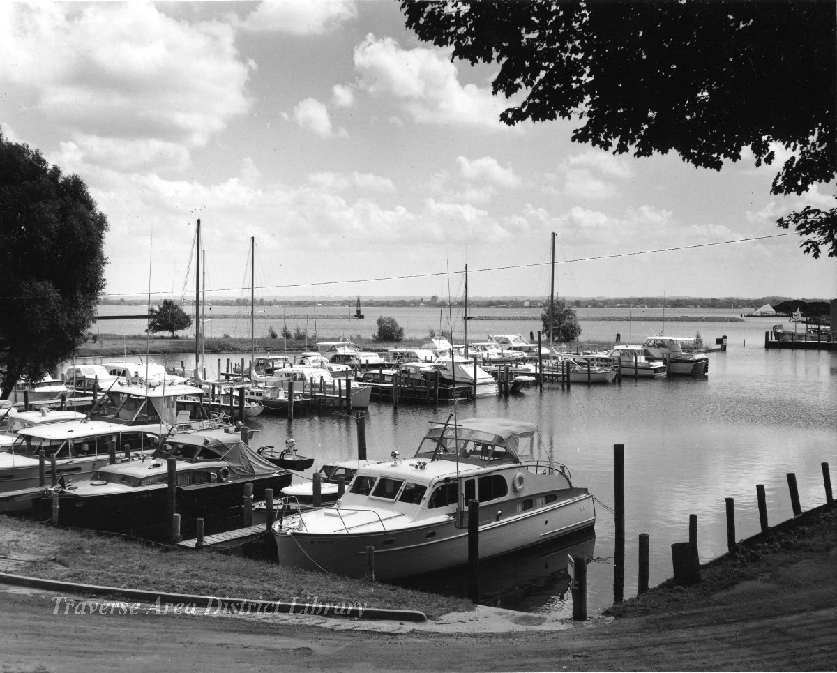
When I reach the top, I stand up and look out into the distance. I can see everything from here. Millions of trees, orange, red, and gray surrounding me. I turn around and see all of Lake Michigan. The dark blue covering what feels like half of the Earth around me. The lighthouse is in the distance.The sun is setting just beside it; a serene pink and yellow colors.

I think to myself —this is my home.

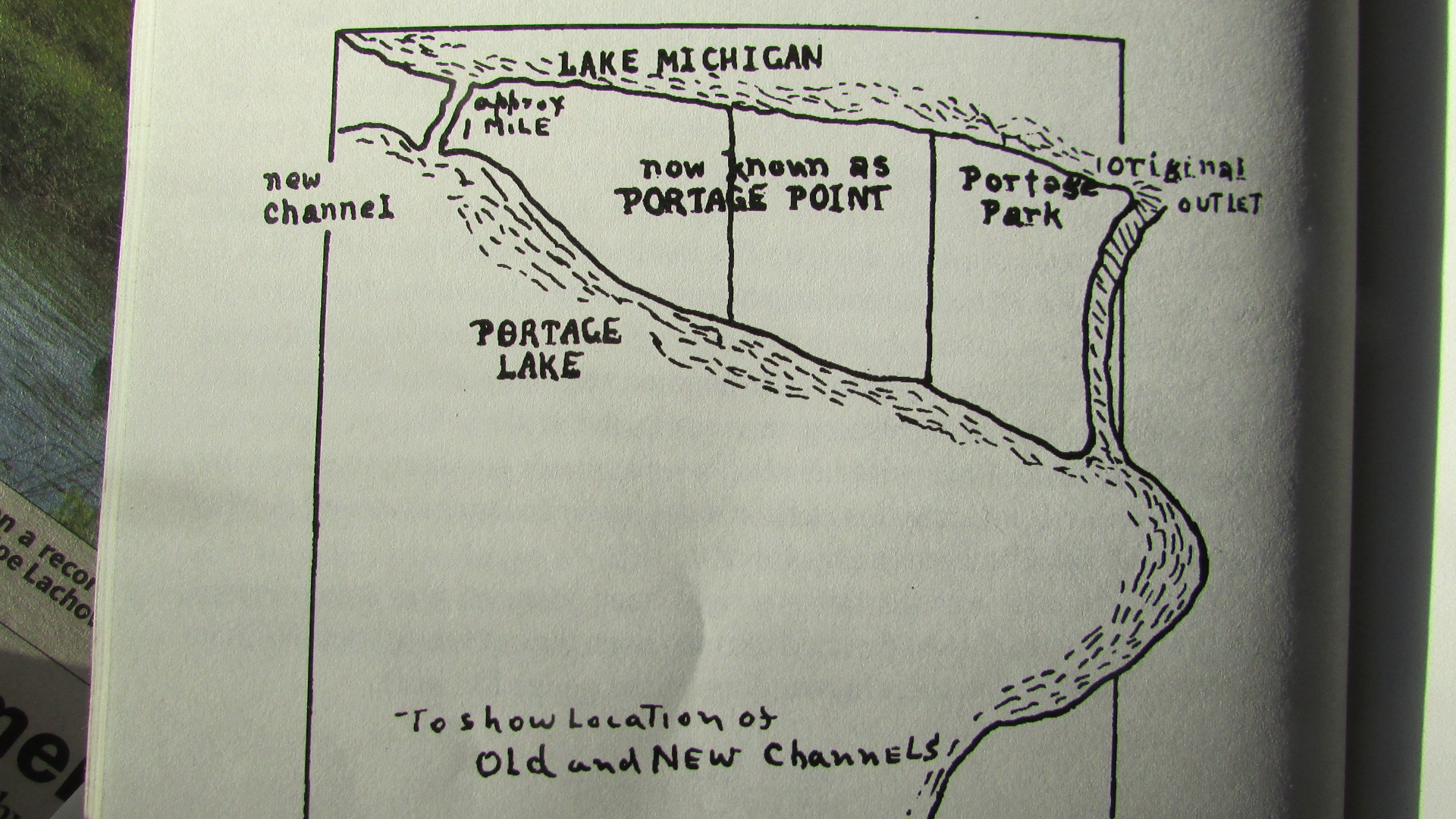
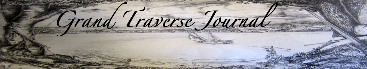
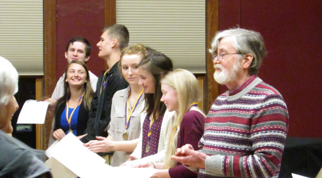
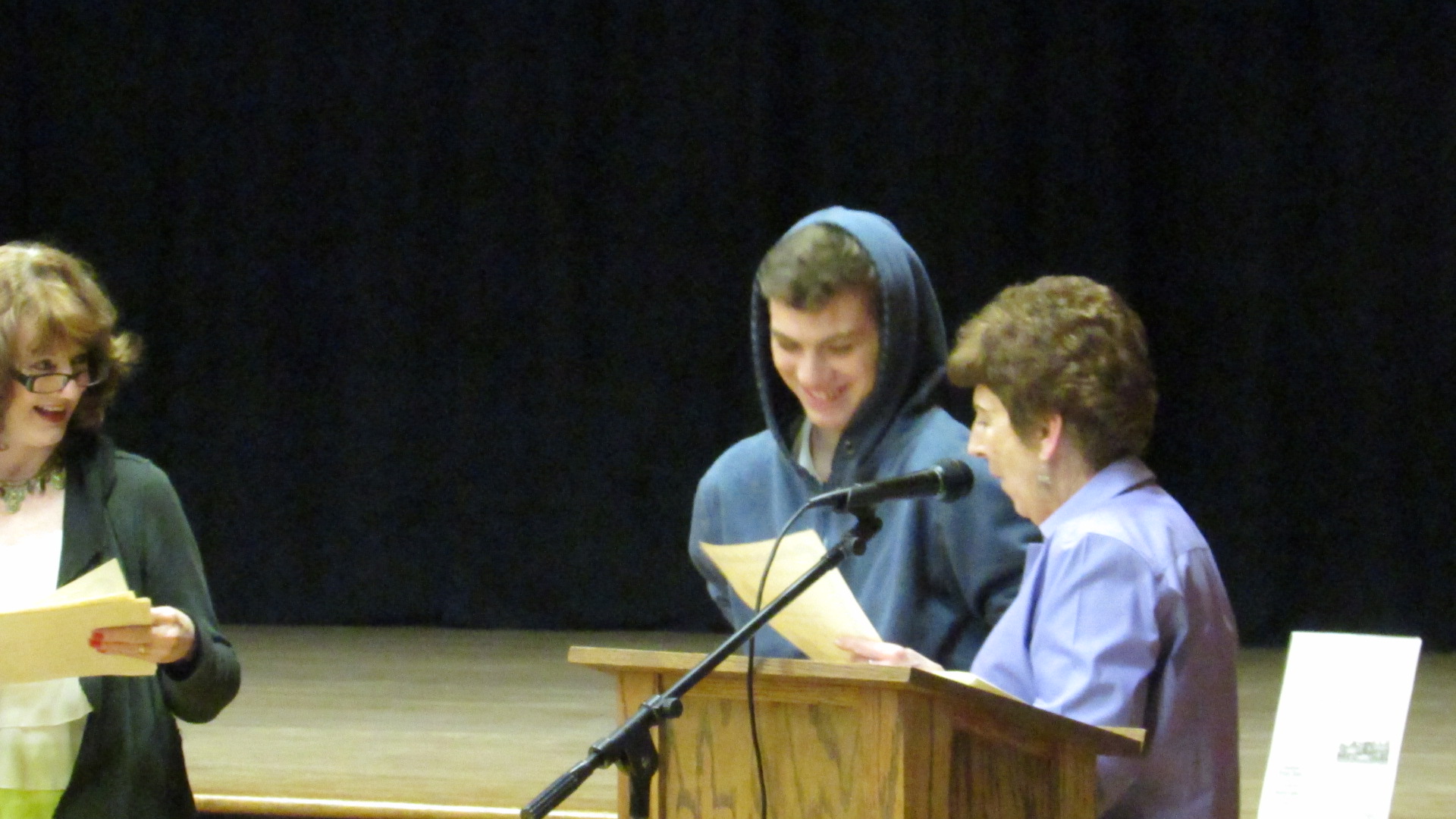
The Tenth Annual Bruce Catton Historical Award Reception was held at Mills Community House, Benzie County, in April 2016.   Families of the freshman authors and community residents came to honor the young authors and their teachers, Ms. Rebecca Hubbard, English teacher, and Mr. Dave Jackson, history teacher who inspired the authors. The students were assigned to write about a special event in their life, trying to create a memorable experience that would delight an audience. The readings given adult performers proved the students had succeeded. Similar to author Bruce Catton’s memoirs that included many of his life experiences as he grew up in Benzie County during the early years of the 20th century, the students included many descriptive details in essays that reminded their audience of similar experiences in their own lives.

New Exhibits, Hands-on Fun and Walking Tours in September

Downtown Traverse City Historic Walking Tours Every Saturday

Don’t miss the Traverse Area Historical Society’s Downtown Historic Walking Tours! The tour will be offered every Saturday in September, starting at 10:30am.  The tour will last approximately 90 minutes.  Please meet  in front of Horizon Bookstore, 243 East Front Street, 20 minutes before the start time. The cost is $10 cash or check; with all proceeds benefiting the Historical Society.  Reservations (at 995-0313) are appreciated but are not necessary.

Oakwood Cemetery Tours Every Sunday

The Traverse Area Historical Society will conduct walking tours of Oakwood Cemetery at 4:00 PM on all Sundays in September and on October 2 and 9. The tours will focus on the unique history of the area and the early pioneers who began the process that led to the community we know today. The tours are geared towards an adult audience and last 1 ½ hours. The cost is $10 per person and all funds raised will benefit the programs of the Historical Society. Participants are encouraged to wear shoes suitable for hiking over uneven terrain. They should meet with docents on the sidewalk outside the cemetery at the corner of Eighth Street and Steele approximately 15 minutes prior to start time. For additional information call (231)941-8440.

Specific Dates: September 4, 11, 18, and 25; October 2 and 9

National Parks Continue Celebrating their History

Sleeping Bear Dunes, August 2011. Image courtesy of Rodney Campbell, https://flic.kr/p/aa2nva

Would you like to attend a star party, witness a shipwreck rescue reenactment, hear some excellent live music, and volunteer to help restore biodiveristy in our region? Then get involved with the Sleeping Bear Dunes National Lakeshore and the National Park Service as the celebrate 50 (for the Dunes) and 100 years of service to us! Unless you’ve been hiding under a rock (like some residents of the Dunes), you’ve probably heard about the celebration, but with the winter months coming on, the last few days to enjoy our collective conservation history is upon us. Don’t wait!

Click here to see the calendar of events for September 2016

New Exhibits on TC Paralympian and Traveling at TADL, Woodmere

Join us on the 2nd Floor of the Woodmere Main Library, Traverse Area District Library, for two fantastic exhibits, never before seen in Traverse City:

Tommy Kelderhouse was a Paralympic athlete from Traverse City. Archery was just one sport he medaled in.

Tommy Kelderhouse, 1970s Paralympic athlete and Traverse City son, is featured on several interpretive panels courtesy of Port Oneida Community Alliance and the Kelderhouse Family.  Tommy Kelderhouse was the great great grandson of Thomas Kelderhouse, founder of Port Oneida. Enjoy this piece of history, just in time for the Paralympic Games, beginning on September 7th in Rio, Brazil. This exhibit is in the primary display space to the right of the 2nd Floor Reference Desk.

Profuse thanks to the Port Oneida Community Alliance for the privilege of displaying Tommy’s work and achievements. Port Oneida Community Alliance is a nonprofit organization providing hands on opportunities for education, recreation, and celebration of historical knowledge, environmental stewardship, and sustainable agriculture that honor and perpetuate the legacy and community spirit of the resilient subsistence farmers who called Port Oneida their home.
Also, a brief exhibit on how passengers in Grand Traverse County fared on various modes of transport, from the 1850s to the 1920s. Learn more about Traverse City’s own auto manufacturer and more! This exhibit is immediately at the top of the stairs on the 2nd Floor.

Portage Lake, a Hotbed for Land Use Controversy, 1866-2016

by Stewart A. McFerran

Before high water and before low water, the bank was stable for many years. It was shady with huge hemlocks, white pine and cedars overhanging the water. Before fire and development, impenetrable thickets lined the shores and teemed with fish and fur. Breezes cooled by patches of snow rippled Portage Lake until June. A winding creek emerged as the forest gave way to dunes. All the spring water from the Lake and uplands were contained in that fast flowing creek. The shifting sand of the dunes, currents and waves mixed with the flow of Portage Creek always.

On Sunday, May 7th, 1871, the neighbors of Portage Lake gathered in the morning. The night before they had a big party and dance on Portage Point. The farmers had completed a narrow ditch that ran from Portage Lake to Lake Michigan. They did not know what would happen when the water started to flow. An ox moved a log that held the water of Portage Lake back.  They were shocked at what they had done on that Sunday morning.

New channel of Portage Lake to Lake Michigan. Image courtesy of the author, August 2016.

The flow grew and grew. Soon the power and weight of the water became apparent. An entire forest was swept out into the big lake. Some worried that Portage Lake would drain away completely. It did not, but hundreds of fish were left on the wide new shore flopping about. Many witnessed a forest of trees floating miles out in Lake Michigan. Just what this event would mean for the farmers around Portage Lake and the mill on Portage Creek would soon become apparent and is still talked about.

The controversy over land use on Portage Lake continues today. At a recent Onekama Township town hall meeting, plans for the historic Portage Point Inn were presented by the Inn’s new owners. The Inn has stood on dunes of sand between Portage Lake and Lake Michigan since 1903.  The survival of the historic hotel is certainly a major concern, as well as the results of unchecked development.

The development of Portage Point began with a survey of the dunes between Portage Lake and Lake Michigan in 1837. At that time, the level of Portage Lake was much higher. Joseph Stronach started building the dam and mill at Portage Creek in 1845. Thick cedar groves covered the main street of Onekama before there was a main street. As the population grew, land use changed from logging to farming, causing strife among neighbors. Things came to a head in 1871.

A Mr. James Francis Hannah (cousin of Perry Hannah) purchased the Mill at Portage Park in 1857. He would pay farmers for the flooding of their lands when the gates of the dam closed to build a “head” of water to power the sawing of logs. The water in Portage Lake would rise as much as six feet and logs could be floated up to the mill.  Farmers all around Portage Lake objected to the high water levels that flooded their “improved land.”

The mill was sold to Porter Bates in 1866.

General Grant, Speed, Sea Gem and Dall were schooners that stopped at the Portage Pier. Porter and Company controlled the pier which was at the mouth of “Portage Creek.” Access to the vessels that sailed along the coast of Lake Michigan was key to trade. Porter charged a heavy toll to anyone wanting to ship lumber, tanbark (bark from trees used to tan leather, usually oak or hemlock), or farm produce to the wider market.

Amos Pierce, who owned sixty acres on the South end of Portage Lake, would not take payment for the flooding of his land. In March of 1867 Pierce told Bates: “a lot of us would come down and tear his dam down and he said if we did he would shoot us.” (Chaney, Story of Portage).

Map from "Story of Portage," showing the location of the old and new channels to Lake Michigan.
Map from “Story of Portage,” showing the location of the old and new channels to Lake Michigan.

Pierce and other rogue farmers were jailed for digging a new channel from Portage Lake to Lake Michigan. While Pierce was in jail others took over. When they were put in jail and Pierce was released, he carried on digging the channel. What they dug was narrow and was held back by one log… the log that was pulled away by one ox on Sunday, May 7, 1871. This controversy over land use was solved by collective action after the dance that Sunday.

The rogue farmers opened a channel from Portage Lake to Lake Michigan about a mile south of Porter Mill. The water of Portage Lake rushed into Lake Michigan creating a channel 300 feet wide and 18 feet deep. Fish from the inland lake mixed with their big lake cousins that they had not seen for centuries. Some were left stranded and were scooped up in buckets.

Porter Mill was left high and dry as Portage Lake fell to the level of Lake Michigan. The dam was no longer able to control the waters of Portage Lake. With no falling water the mechanism of the mill could not operate. The farmers had won by guaranteeing low water levels in Portage Lake. In addition, trade was no longer restricted to the small Portage Creek and the pier on the Lake Michigan shore. In fact, “Portage Creek” ceased to exist.

The tug Williams made the first entrance into Portage Lake. She was hailed by the waving of hats and handkerchiefs, and loud hurrahs and firing of guns. The original settlement at Portage Park was largely abandoned.  The new Post Office was moved to the Northeast section of the lake because many points along the shore of Portage Lake were open to trade. The flow of development was redirected to the East end of the Lake when the flow of Portage Creek was redirected to the South end of the Lake.

More Change Coming to Portage Point Inn, 1902-Present

Portgage Point Inn. Image courtesy of the author, August 2016.

It was standing room only July 7th, 2016, at the Onekama fire house as plans for the historic Portage Point Inn were presented by the Inn’s new owners. The Inn has stood on dunes of sand between Portage Lake and Lake Michigan since 1903.  Many Portage Point cottagers worried about the preservation of the historic hotel, others that they would all be swept away by a rush of development. Opinions were expressed to Onekama Township officials regarding developments on the sleepy Portage Point.

The Onekama Township Planning Commission considered amendments to a special use permit this summer.  The amendments would accommodate changes to the Portage Point Inn and surroundings, as the new owner would like to reopen the historic Inn, which has fallen into disrepair. The Inn was last open in 2012.

The Portage Point Assembly was originally incorporated in 1902 under State Legislation that encouraged the building of hotels and clubhouses. The Assembly was also charged with “preventing and probation of vice and immorality”.

The Casino at Portage Point Inn sits behind the Inn proper, and has fallen into disrepair. Image courtesy of the author, August 2016.

Construction on the Portage Point Inn began in 1902. The Inn and the “casino” were the centers of activity for cottagers for many years. Vacationers traveled on the Puritan which passed through the channel once a week and stopped at the dock in front of the Inn. Fond memories abound.

In addition to obvious renovations, there needs to be an upgrade to the sewer capacity. Other requested changes include plans for forty additional boat slips and a gas dock. There would be capacity to haul large boats and store them nearby.  Changes would be made to public access to Portage Lake, and a public fishing dock would be built.

From the Author: I cannot exaggerate what a big deal THE "Sunset House" is to the cottagers at Portage Point. ANYONE with a history ON THE POINT knows where the Sunset house is. Even though as you can see it is a simple cheap building it is maintained be the PP Association. They also maintain the signs with family names posted on the roads. They publish a book of members. They have a meeting. It IS a big deal!
The Sunset House marks the place where the pier once stood. Image courtesy of the author, August 2016.

The historic stream bed of Portage Creek winds through the lively ghost town of Old Portage. The Sunset house at the end of Lake Isle marks the place the pier once bustled with activity. The “boat house” is on the bank that overlooks a tiny pond that was once Portage Creek. Cottagers have a long history with each other as well as the place.

Boat House at Portage Point. Image courtesy of the author, August 2016.
The “Boat House” is on Lake Isle Street and rests on the bank of what once was Portage Creek which was the original outlet of Portage Lake to Lake Michigan. Image courtesy of the author, August 2016.

Amos Pierce and his rogue bands of militant farmers are long gone, but the channel they created from Lake Michigan to Portage Lake remains. The concrete walls stabilize the shifting sand but currents and high energy waves deposit sand during the long winter. The water of the “freshet” called Portage Creek now flows through the navigation channel and still mixes with the waves of Lake Michigan.

Current residents of Old Portage have been isolated. With hundreds of square miles of open water to the west and thousands of acres of National Forest to the east, Portage Point is on the way to nowhere. Not like it used to be. It was a destination and origin of raspberries and pickles that made the overnight trip to Chicago market on the Puritan.

Like the controversy of 1871, changes facing the community on the dune between Lake Michigan and Portage Lake came to a head… but this time, there were no threats of violence and all firearms were concealed.

Thanks to Portage Point resident Tom Gerhardt for sharing his knowledge with us, and providing details and dates.

Stewart. A. McFerran teaches a class on the Natural History of Michigan Rivers at NMC and is a frequent contributor to the Grand Traverse Journal.

Ruggs Pond Dam Powered What City?

Ruggs Pond is formed by a dam originally intended to generate power for what Northern Michigan community?  (Hint: it forms at the junction of two tributaries of Rapid River)
Gottfried Franke's crew building the Rugg Pond dam on the Rapid River in Kalkaska County. Image courtesy of Traverse Area District Library, 953.031910.13
Gottfried Franke’s crew building the Rugg Pond dam on the Rapid River in Kalkaska County. Image courtesy of Traverse Area District Library, 953.031910.13
Postcard of Rugg Pond, Rapid River, 1905-1906. Image courtesy of Traverse Area District Library, 953.031910.13-2

The Five Wharfs of the Bay: a 1938 Study of Traverse City’s Land Use

A quality scholarly study is a valuable tool for any researcher, which is why so many reports, dissertations, and the like, have been preserved by Traverse Area District Library, Traverse Area Historical Society, and Northwestern Michigan College.

This piece of scholarship comes to us from Allen Belden, a student at the University of Oklahoma in 1938. His work, title “Land Utilization in Traverse City, Michigan,” provides a fairly detailed snapshot of land use at the time. This excerpt focuses specifically on transportation opportunities, especially the various points along the bay shore used by various companies. Maybe one of our readers is interested in updating this study?:

“The Transportation Patterns

Probably the most basic land use features of present-day Traverse City are its transportational forms. These lend themselves to a ready classification into three sub-types, namely, wharves, railways, and Streets. The patterns of these will be described and discussed separately.

Wharves: In Traverse City the facilities for waterway transportation consist of five wharves at which boats larger than very small craft, such as rowboats, may dock. Four of these are on the bay side of the peninsula formed by West Bay and Boardman River where they are centrally located along the city’s waterfront. The fifth wharf also is on West Bay, but it stands alone about one block east of the mouth of the Boardman River. From west to east these wharves are the Hannah, Lay and Company wharf, the J.C. Morgan Company wharf, two municipal wharves, and the Cherry Growers Canning Company wharf.

West Bay harbor. Perhaps a reader with a better eye for boats can help us date this photograph? Send responses to gtjeditor@tadl.org

Only a meager use is made of any of these wharves at present. Hannah, Lay and Company, distributors of coal and building supplies, use their wharf to receive and store coal. The J.C. Morgan Company, cherry and apple canners, receives shipments of coal by water. The westermost municipal wharf has on it a little-used public warehouse. The municipal wharves together enclose a small harbor which is used during the summer by small pleasure craft. Signs there advertise “Boats For Rent” and “Deep Sea Fishing”. The Cherry Growers Canning Company wharf is used not only to receive coal but occasionally also to ship canned cherries.

The present utilization of Traverse City’s shoreline for waterway transportation facilities is meager for several reasons. Grand Traverse Bay is about 30 miles long, and the city, which is at the inland ends of the bay, is not close to frequently used Great Lakes shipping lanes. The city’s commercial and manufacturing establishments are small, and in most cases they ship and receive goods in the less than boat-load quantities. Railways and trucks can transport small quantities of goods more efficiently than can lake boats. The number of places that can be reached by lake boat without extra bulk-breaking is small in comparison with the number of places that can be so reached by highway or railway. The southern end of West Bay, although better than the southern end of East Bay, is not a good harbor. It is more than two miles wide and exposed to the full force of northerly winds. The depth of water at the end of Hannah, Lay and Company wharf, which is three hundred feet long and extends into West Bay at right angles to the shoreline, is only thirteen and one-half feet. It is so shallow that none but the smallest of Great Lakes cargo vessels (2800 tons) may safely dock. Even these must partially unload before completely docking. In addition, Grate Lakes transportation is interrupted during about six months of each year because of cold inters. These conditions limit the use made of the present wharves and discourage construction of additional ones.

Other water bodies are even less used than West Bay. Boardman River and Boardman Lake are not navigable by boats larger than rowboats. An abandoned dam with a fall of six feet, between Cass and Union Streets, is an effective barrier even to these. The shoreline of East Bay is considerably shallower than that of West Bay and otherwise has the same disadvantages to shipping.

718000000493
“Traverse City’s first important industry,” according to Belden. Here is a fantastic image of the Hannah and Lay sawmill on the bay with the Boardman River in the foreground. Logs are banked and in the river. This was a steam powered mill with wood scraps providing the fuel for the boiler. The tall rocket shaped item is the sawdust burner. However, the date is incorrect. The mill was built in 1852. But, one can get a sense of the advantages this location provided for industry, as described by Belden. Image courtesy of Traverse Area District Library, 718.000000.493.

In spite of the scant use of Traverse City’s waterfronts for waterway transportation facilities, the shoreline where the present wharves are located has advantages over others. The most significant factor affecting the location of all but the Cherry Growers Canning Company wharf is that the shoreline so used has from the start been centrally located with respect to trade and industry within the city. Traverse City’s first important industry was the Hannah, Lay and Company sawmill which was built on the peninsula between West Bay and Boardman River near the northern end of what is now Union Street in 1852. This company cut logs in the Boardman River basin in winter and floated them downstream to the mill in spring. The logs were fed into the mill from the river bank, and then manufactured lumber was loaded into the stern hatches of timber boats which docked a few yards away on West Bay. This was an admirable arrangement, since it reduced the handling of logs and lumber on land to a minimum. No other site in or near Traverse City had comparable advantages for such an industry. later, when railways entered the city, in 1872, 1890, and 1891, their chief objective was this mill, and the site of the early lumber wharves became a contact point for railway and waterway transportation as well as a focal point for railways. Because of this and the fact that Boardman River has been bridged by two north-south streets to improve the accessibility of the peninsula from the south and east, commercial and manufacturing establishments were attracted to the vicinity of the old mill. Even today this area is centrally located with respect to land transportation routes, and , for that reason, such companies as use Great Lakes shipping find the location favorable for wharves.

Cherry Growers Canning Company, aerial view from 1947, shows wharf and railroad spur. TADL Historical Society Collection, 3303.
Cherry Growers Canning Company, aerial view from 1947, shows wharf and railroad spur. Image courtesy of Traverse Area District Library, 3303.

The Cherry Growers Canning Company wharf is now and, except for the fact that it is not located near the heart of the city’s transportation pattern, enjoys all of the advantages of the older wharves. A special spur was needed to give it railway accessibility, however.”

Historic Strip Mall Identified and Dated!

Congratulations to Betsy, our August “Mystery Photo” champ, who correctly identified the Eastfield Plaza on Eighth Street! As to the date, would you guess the mall opened in the 1950s?

“Preposterous!,” you might say. Well, check out our October 2016 issue for a full history of this little shopping district gem, to be written by our fellow editor, Richard Fidler. As a teaser, a real, live pony was involved in the naming of the plaza… how can that be? Stay tuned!

The Green Machine by Moonlight

by William C. Scharf

Interior of 1946 Piper Cub. This particular plane was purchased by actor Steve McQueen for his wife, Barbara. Image courtesy of Steve McQueen Online.

I looked back at John from the front seat of the two-seat 1946 Piper Cub (PA-11). He had a firm grip on the control “stick” that was the main steering for the aircraft that was thirty-years old when I was its passenger in 1976. In this particular plane the “stick” was located in the back seat to facilitate dual-control training of novice pilots when a second “stick” was added for the front seat.

Piper Cubs were built in profusion (just shy of 20,000) before, during and after World War II. They had a tubular frame covered with fabric. The Cub’s little engine was around 65 horsepower; the manufacturer equipped the plane with engines built by several companies. There was no starter. Instead the pilot spun the propeller by hand until it started. The pilot was best advised to take great care to get out of the way of the propeller when the engine began to run. It could power the plane at 75-80 miles per hour– even with the floats that were used for landing on the water. When flying a Cub near a freeway, it is not uncommon to be outpaced by the cars below.

Piper Cubs, because of their simplicity and reliability, are still highly sought after. A large number of those built are still flying. Originally, most Cubs sported a snappy yellow paint job, but the one I was now riding in was painted all green. Hence, this plane’s nickname, the “green machine.”

scharf-reportp48
Transparency and image from Bill’s report on his expedition by floatplane. Northwest Sugar Island, Chippewa County, Michigan. Image courtesy of the author.

It was Friday May 7, and just a few days earlier I had entered into a cooperative contract with the Fish and Wildlife Service and the Corps of Engineers to find and count nesting colonial waterbirds (gulls, terns, and herons) up to one mile inland along the U.S. Great Lakes shoreline. This was the first such census attempted in two consecutive seasons by a single group. The findings are summarized in my two books published by the sponsoring agencies. Each book has a different emphasis and they complement each other describing the whole project.

Because of other work commitments, John, my pilot, asked me to meet him at three in the afternoon at Spider Lake, where the “green machine” was kept. I was itching to “get my feet wet” in this my new bird census endeavor. I had never flown in a floatplane before, but had been convinced by a number of pilot friends that it was the perfect way to find the waterbird colonies, and then land to make a definitive count.

We headed southeasterly in the “green machine” over land toward the Ohio coast of Lake Erie to search for bird colonies. My thought was to do the southerly colonies first because the nesting started earlier there. It took our plodding Cub about three hours to get to the lakeshore and by then I felt a need to let out some of the coffee I had with lunch. John landed the plane near the shore of the Woodtick Peninsula and said I should stand on a float and let the coffee go. It is best to hold on tight to the plane while standing on the float! Hmm, so this is how we function in floatplanes?

scharf-reportisland
Image from Bill’s 1977 expedition by floatplane. Unknown island with gull colony. Image courtesy of the author.

From there we flew up the Detroit River. I saw a few heron colonies and a couple of ring-billed gull colonies. The heron nests were easily counted from the air by circling, but John was reluctant to land at the gull colonies because the river current seemed too overwhelming for our little plane on take off. We gradually noted that it was getting late in the afternoon and mutually decided to search a portion of Saginaw Bay near Bay City before heading back to Spider Lake. I took some nice aerial photos of Channel and Shelter Islands near the Weadock power plant. These were the last aerial photos of this site before the islands were covered with dredged-material in order to deepen the Saginaw River shipping channel. The resulting new man-made island is now called the Saginaw confined disposal facility (CDF).

Now, the sun was going down fast. The retreating orb in the west was a beautiful sight from our altitude. The sinking sun, as we flew toward it, highlighted the curvature of the earth. The temperature had dropped, and it occurred to me that we faced an over land trip of more than two hours in progressive darkness and cold until we got back to Spider Lake. The pilot, John, seemed to be nodding off probably due to the fatigue of his regular job, flying airmail routes at night. He had flown on Thursday night, and was “off” now for Friday and Saturday nights. His upcoming time off was how he rationalized taking me in search of colonial nesting birds this afternoon. This was truly “moonlighting.” I looked back and his eyes were closed, although his hand seemed firmly on the “stick.” I said loudly, “John are you asleep?” To which he opened his eyes and said, ”just resting my eyes.” I am still not convinced of that.

As it grew darker, I said to John, “Is it about time to turn the lights on?” To which he answered, “don’t have any.” He added, “If someone else is coming we’ll see them first.” He indicated, pointing at the glass overhead window, a common standard element between the two wings of most Piper Cubs, “there’s nearly a full moon tonight with plenty of light to see things.” I took little comfort from that, but what choice did I have?

I sat quietly in the cold and dark until I finally could see the lake that John was aiming for. We descended in the darkness, despite the abundance of moonlight. Once the plane had dropped below the tree line the moonlight provided no benefit to see objects on the water.

1946 advertisement of the Piper Cub. Image courtesy of David at "Remarkably Retro," http://dtxmcclain.tumblr.com/post/4770323285/piper-cub-special-1946-the-worlds-most-popular
1946 advertisement of the Piper Cub. Image courtesy of David at “Remarkably Retro,” http://dtxmcclain.tumblr.com/post/4770323285/piper-cub-special-1946-the-worlds-most-popular

I was picturing a late supper as we made our straight-in glide path to the cove we had departed from 6.3 hours earlier. Ah, the prospect of dry land again. But then, just as our floats were about to touch the water, a fisherman arose in a boat straight ahead of us. He held a flashlight in his hand and he was as convinced as I was that the approaching “green machine” represented his and our impending doom. John quickly, and in a panic, yanked the stick back, and we narrowly avoided a collision.

That was my first floatplane trip. I have managed to overcome my initial aversion, and have since spent many productive hours between sky and water doing bird censuses in newer and faster aircraft on floats. Some of the makers of these sleek floatplanes include: Cessna, Piper tri-pacer, Helio Courier, Fairchild, Seabee, and Maule, but none was as memorable as my first flight in the “green machine.” I have also had several floatplane pilots over the years and I want to thank them: Don, Ray, David, and Billy as well as John.


scharf-reportFor those interested in the results of Bill’s study, he reports:

We found 267 colonies, mostly gulls, but also terns herons and cormorants, on islands. Some ring-billed gull colonies were over 50 thousand nests and took ten people 2 days to count. The study area spanned 522 miles (No.-So.) and 787 miles east to west.  From Pigeon Pt, Minnesota to Cape Vincent, New York.

The original paper may be found online at the Northwestern Michigan College library:

Scharf, W. C. 1978. Colonial Birds Nesting on Man-made and Natural Sites in The U.S. Great Lakes. Tech. Rpt. D-78-10, U.S. Army Engineer Waterways Expt. Sta. Vicksburg, Miss. 136p. + Append. A-D.


Bill Scharf is Professor Emeritus at Northwestern Michigan College where he led students on scientific study trips on Lake Michigan islands for 27 years. He holds an undergraduate degree from the University of Wisconsin Stevens Point, and Masters and Ph.D. from the University of Minnesota. He has studied harriers in Wisconsin and Orkney, Scotland, colonial nesting seabirds and migrating songbirds on the Great Lakes, and for 4 years after his NMC retirement, was Associate Director of the Biological Station at the University of Nebraska. While in Nebraska he wrote the Birds of North America account of the Orchard Oriole as well as studies on islands in the Platte River. He returned to Michigan to direct the Whitefish Point Bird Observatory, and currently resides in Traverse City.